


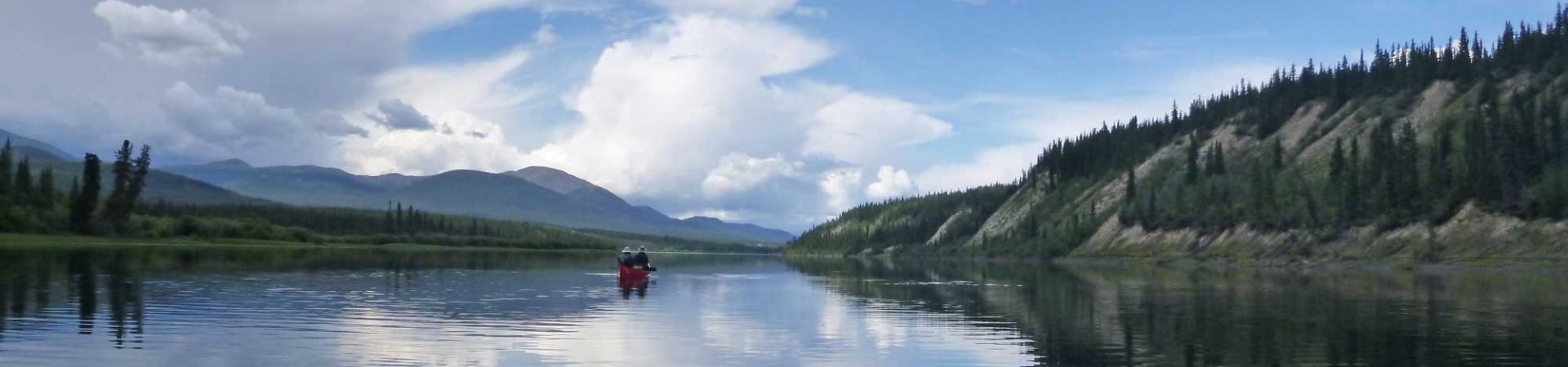
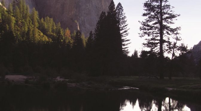
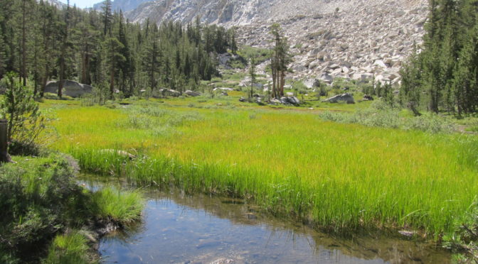
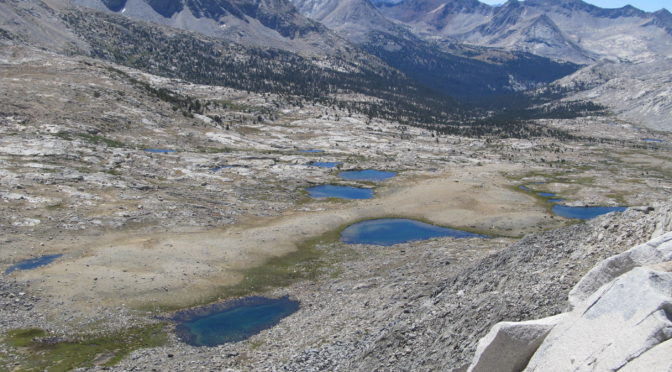
The John Muir Trail (JMT) is a classic trail that covers 211 miles of scenic beauty in the Sierra Nevada mountain range in California. The trail starts at Happy Isles in Yosemite National Park (YNP) and ends on the summit of Mt. Whitney, the tallest mountain in the contiguous United States at 14,500 feet. However, …
Resupply options on the John Muir Trail are fairly straightforward in the northern section, but it gets a little more complicated in the rugged, southern section where no backcountry ranches exist. For those with a strict timetable, it may be undesirable to have to spend a couple of days exiting the trail to get to …
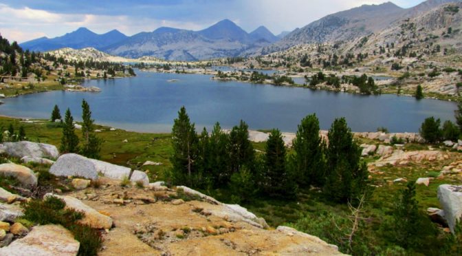
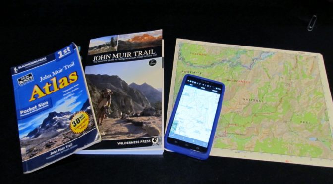
With the increasing popularity of the classic John Muir Trail (JMT), which goes from Happy Isles in Yosemite National Park to Mt. Whitney, more people are utilizing alternate routes. Many of these routes originate in Inyo National Forest and permits are obtained through Recreation.gov. This web-based system is relatively easy to use and has the …
My book about my journey on the John Muir Trail, Highs and Lows on the John Muir Trail, is now available on Amazon. Currently it’s available in Kindle format, but early next year I’ll have print and audio versions available. If you want to check out a sample here’s the first chapter. Scroll down to view …
The John Muir Trail, which traces an undulating 211-mile path up and down the High Sierra while crossing numerous 10,000-14,000 foot passes, requires some logistical planning. The trip itself can be completed in roughly two to four weeks (or as little as a few days for elite athletes like Ralph Burgess) or much longer, depending …
I got interested in Acute Mountain Sickness (AMS) because I always seem to suffer from mild symptoms above 11,000 feet no matter how much I acclimate, including difficulty sleeping, headache, low-grade nausea and fatigue. I also develop significant puffiness around my eyes, an indication of Altitude Induced Peripheral Edema. When I hiked the John Muir …
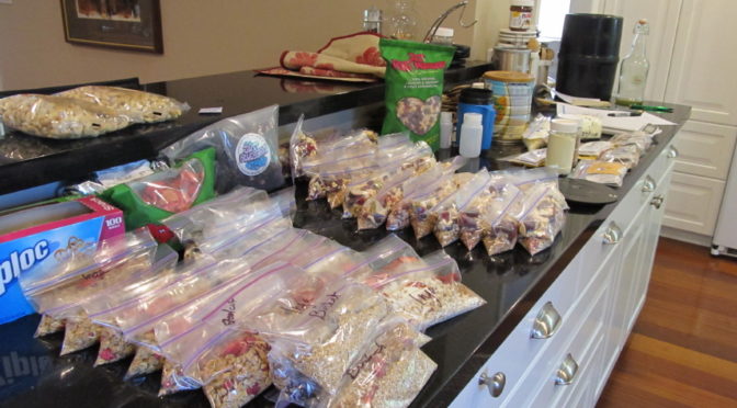
I don’t think I cooked more than a handful of meals for immediate consumption during the six months prior to our hike on the John Muir Trail (JMT)—thank goodness my husband likes to cook, otherwise we would have starved while I prepped all the food for the hike. Whenever I’d think of an idea for …
The John Muir Trail (JMT), which traces a 210.4 mile path along the jagged spine of the Sierra, is one of the premier trails in the U.S. It’s only a fraction of the length of the 2,663 foot Pacific Crest Trail (PCT), with which it shares much of its length, but is one of the …
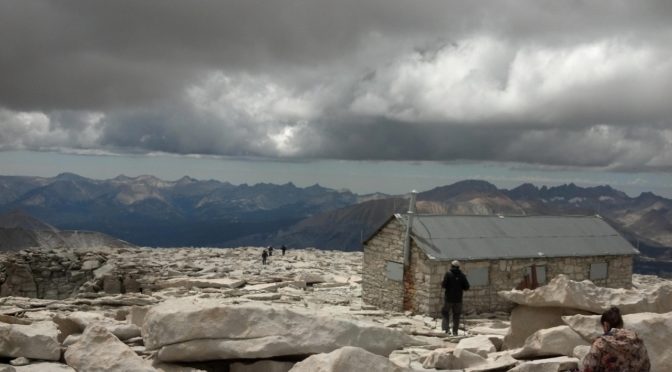
In July 2014 Ralph Burgess (from New York; London originally) set the southbound (SoBo) unsupported record on the 211 mile John Muir Trail (JMT) without even trying hard. Carrying all his food and supplies by himself for his entire trip with no resupplies (unsupported) he started at Happy Isles in Yosemite National Park and ended on top …
We ended Part 2 of the High Sierra Trial soaking in the wonderful Kern Hot Springs and Part 3 takes us up over Mt. Whitney to the end of the trail in Lone Pine. Day 5-Kern Hot Springs to Wallace Creek (12 miles, 10,409 feet) We didn’t mean to walk 12 miles but we did. We had …