


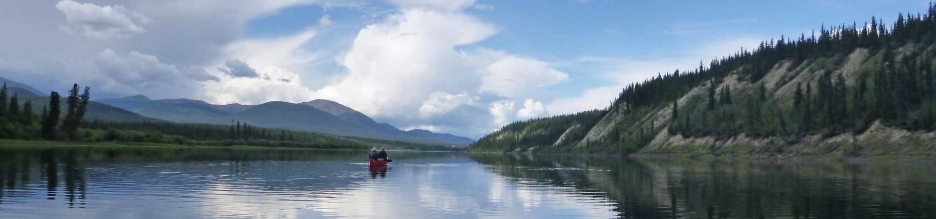

Lake Tahoe-View from the hike
The heavily forested Stanford Rock hike, located in Ward Canyon, is a rigorous 11 mile loop that rewards the hiker with stunning views of Lake Tahoe, Twin Peaks, Alpine Meadows and many other surrounding peaks.
Trailhead
The trailhead is located on Ward Creek Blvd. The trailhead has an obvious parking area in front of a fence, a metal gate and some signs prohibiting campfires, but no other trail markers.
Trail Up
The trail begins beyond the metal gate by crossing the shallow Ward Creek. Boards have been placed across the creek to ease passage but it would still be crossable by rock hopping. The main trail follows a right hand junction immediately after the creek. The trail ascends fairly quickly, like most Sierra hikes, quickly gaining elevation along an old logging road, meaning that it is wide and apparent. Fairly soon the hiker is rewarded with peek-a-boo views of Lake Tahoe, portending better views at higher elevation.
This year, with the heavy snows of the El Nino winter just recently thawed, a lush meadow was brimming with wildflowers in mid-August, looking very much like spring. It beckons the hiker to enjoy a picnic but is too soon in the hike to take a long break so the ascent continues.
Beyond the meadow the views to the east become more pronounced and when it looks like the trail is topping out some social trails to the left lead the hiker to an opening in the forest with unobstructed views of the lake, Blackwood Canyon, Ellis Peak, Rubicon Peak and the distant, still snow-spotted peaks of the high Sierra. South Shore and the ski-runs of Heavenly Ski Resort are also evident. This makes an excellent spot to enjoy a snack or lunch, but the ascent has not really topped out.
After some relatively level hiking the trail curves toward the west and begins ascending again as it skirts Stanford Rock, the rock itself not noticeable until the end of the hike as one looks back at it. The views eventually become oriented toward the north, as glimpses of far-away Tinker’s Knob and High Camp at Squaw Valley and the closer slopes under the Lakewood Chairlift at Alpine Meadows come into view.
Trail Down
A bit before the junction with the Tahoe Rim Trail (TRT) the trail comes to a promontory with spectacular views of the jagged Twin Peaks and surrounding steep cliffs of Upper Ward Creek Canyon to the west leading to Ward Peak. For the backcountry skier these cliffs are accessible in winter by skiing down the west ridge of Sherwood Bowl, approached by a hike from Summit Six Express chairlift, and skiing out of the ski area boundary (Alpine Meadows and the US Forest Service maintain an open boundary policy—ski at your own risk).
After a short distance, perhaps a third of a mile, the junction with the TRT is reached, with a sturdy wooden trail marker. The Stanford Rock Trail descends into Ward Canyon on the TRT, as marked on the trail marker, on a right hand turn. A steep descent through Douglas fir and Tamarack woods gives way to wildflower-filled seeps, creeks and fields of mule’s ears, again heralding spring in August. Lupine, Columbine, Indian paintbrush and delicate purple Marsh Mallows were abundant.
After passing a good sized waterfall and crossing a sturdy bridge the hike out is easy along an old graded logging road. The trail ends at the TRT trailhead, marked with a large sign. Walk approximately one half mile down the paved Ward Creek Blvd to reconnect with the parking area at the start of the hike. Then take a well-deserved break and celebrate your successful hike on the lakeside deck at Sunnyside Steakhouse and Lodge.
[set_id=72157624756825912]
Information:
The trail is clearly marked on the Lake Tahoe Trail Map(www.adventuremaps.net)
Available at Alpenglow Sports
415 N. Lake Tahoe Blvd
Tahoe City, CA
530-583-6917
Trail is open to mountain bikes and is marked double-black diamond on the map.
Getting There: