


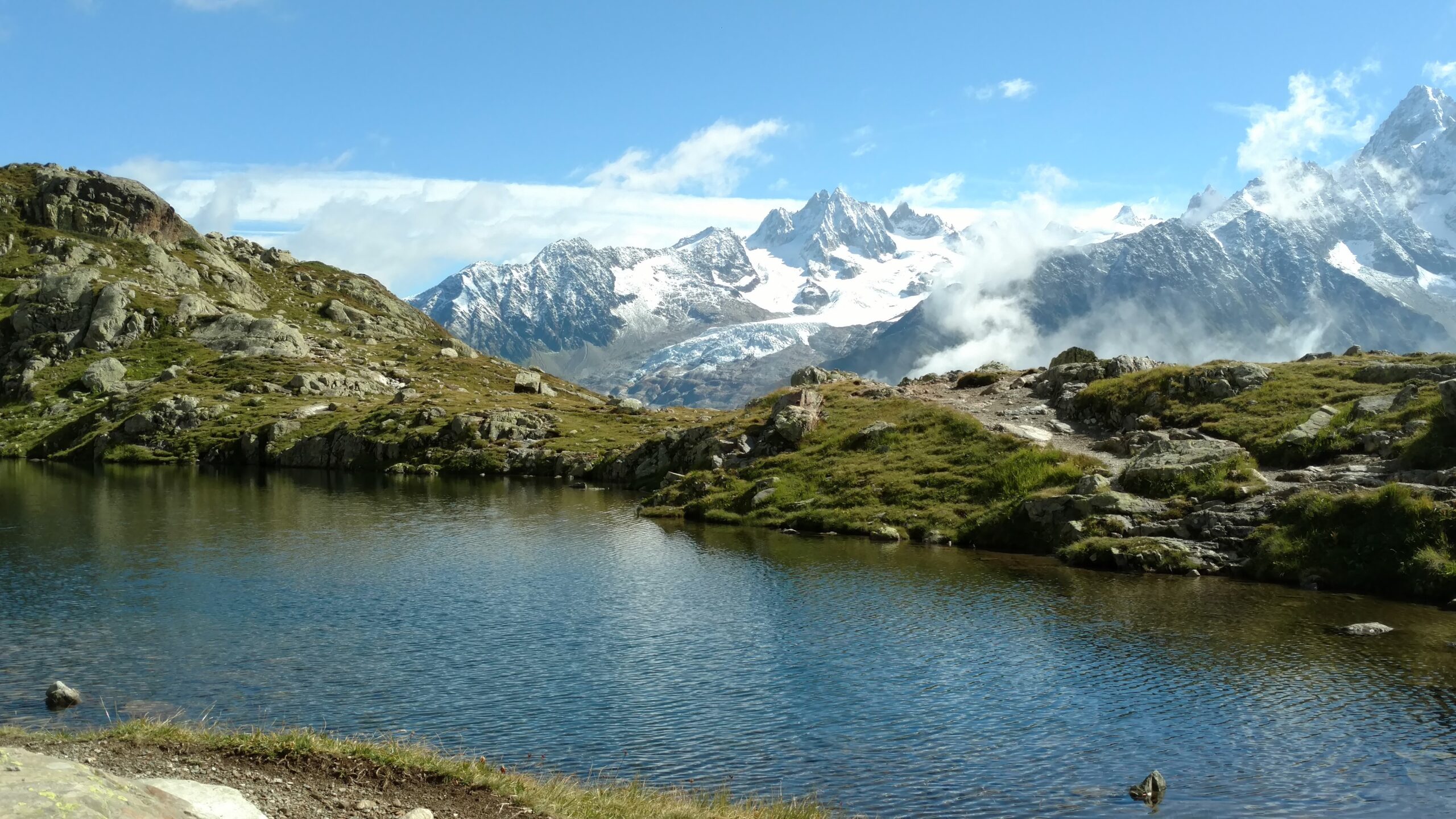
When planning a tour of Mont Blanc hike, which circles around the Mont Blanc massif, the choices immediately get overwhelming. Once you’re on the trail it becomes even more obvious that, while there may be an official Tour of Mont Blanc (TMB) route, the variations are endless. About the TMB The Tour of Mont Blanc …
Day 4 of backpacking the Santa Cruz Trail in the Cordillera Blanca dawned with welcome sun to help us dry out. For more information on planning a backpacking trip on the Santa Cruz Trail, see other articles listed at the end. In the morning the group who had camped near us was up and out …
We were on our 3rd day of backpacking the Santa Cruz Trail in the Cordillera Blanca, a mountain range in Peru, and were ready to tackle the Punta Union, the highest point on the trail. My husband and I were hiking independently but had camped in a designated campsite near a guided group. For more …
We had completed our first day of backpacking the Santa Cruz Trail in the Cordillera Blanca, a mountain range in Peru, and were ready to tackle the second day. My husband and I were hiking independently but had camped in a designated campsite near a guided group. To see how we planned for our independent …
With the increasing popularity of the classic John Muir Trail (JMT), which goes from Happy Isles in Yosemite National Park to Mt. Whitney, more people are utilizing alternate routes. Many of these routes originate in Inyo National Forest and permits are obtained through Recreation.gov. This web-based system is relatively easy to use and has the …
Located in the Cordillera Blanca, the spine of the Peruvian Andes closest to the coast, the Santa Cruz trail cuts through the Quebrada Santa Cruz Valley in Huascaran National Park. Snow-covered peaks, hanging glaciers, gushing waterfalls, aquamarine lakes and fascinating sub-tropical flora all await discovery. After acclimating to the altitude in Huaraz, located at 10,000 feet, …
My book about my journey on the John Muir Trail, Highs and Lows on the John Muir Trail, is now available on Amazon. Currently it’s available in Kindle format, but early next year I’ll have print and audio versions available. If you want to check out a sample here’s the first chapter. Scroll down to view …
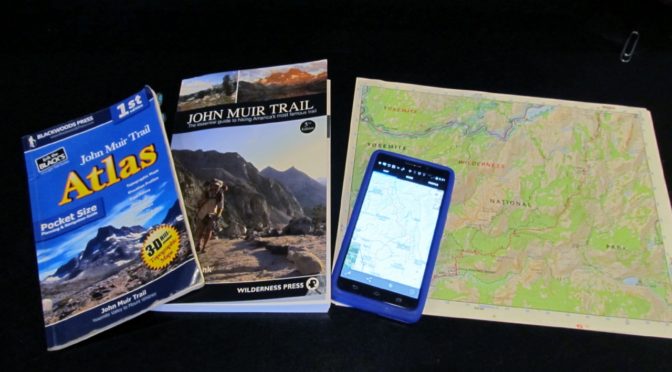
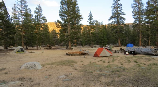
The John Muir Trail, which traces an undulating 211-mile path up and down the High Sierra while crossing numerous 10,000-14,000 foot passes, requires some logistical planning. The trip itself can be completed in roughly two to four weeks (or as little as a few days for elite athletes like Ralph Burgess) or much longer, depending …
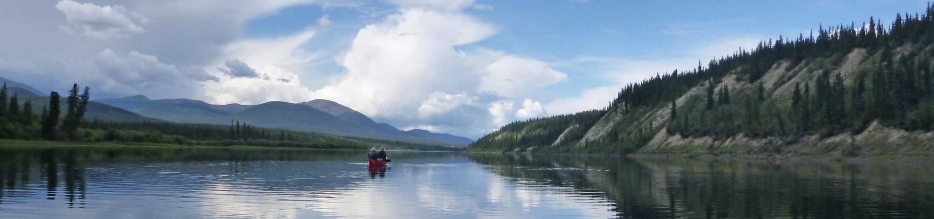
The far northern reaches of the continent have long been a draw for me and Steve. We’ve been to Alaska and the Yukon to hike, backpack, canoe and sightsee so many times that I’ve lost count. On our very first trip we took the Alaska Marine Highway System (state ferry) from Ketchikan. It was so …
“Have a good time, see you at the other end,” said the outfitter cheerily with a wave after wheeling our well-stocked canoe to the riverbank on a dolly. I gazed at the swift current in the middle of the broad river, which suddenly seemed to be moving faster than it had before, then at the …