I’m Inga Aksamit, an award-winning author, globe-trotting adventurer and veteran oncology nurse. I write about human connection, compassion, and adventure – whether traveling to distant lands or inner journeys of the heart.
As a classic adult third-culture kid (TCK), my comfort zone is in that liminal space between my passport country and other corners of the world. My first major expedition was at four years old, clutching Mom’s hand on the tarmac in Northern California before flying to Lahore, West Pakistan to join Dad, who was already engineering a new irrigation project. I emerged as a restless adult after attending 20 schools in four countries.
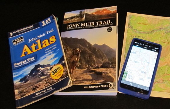
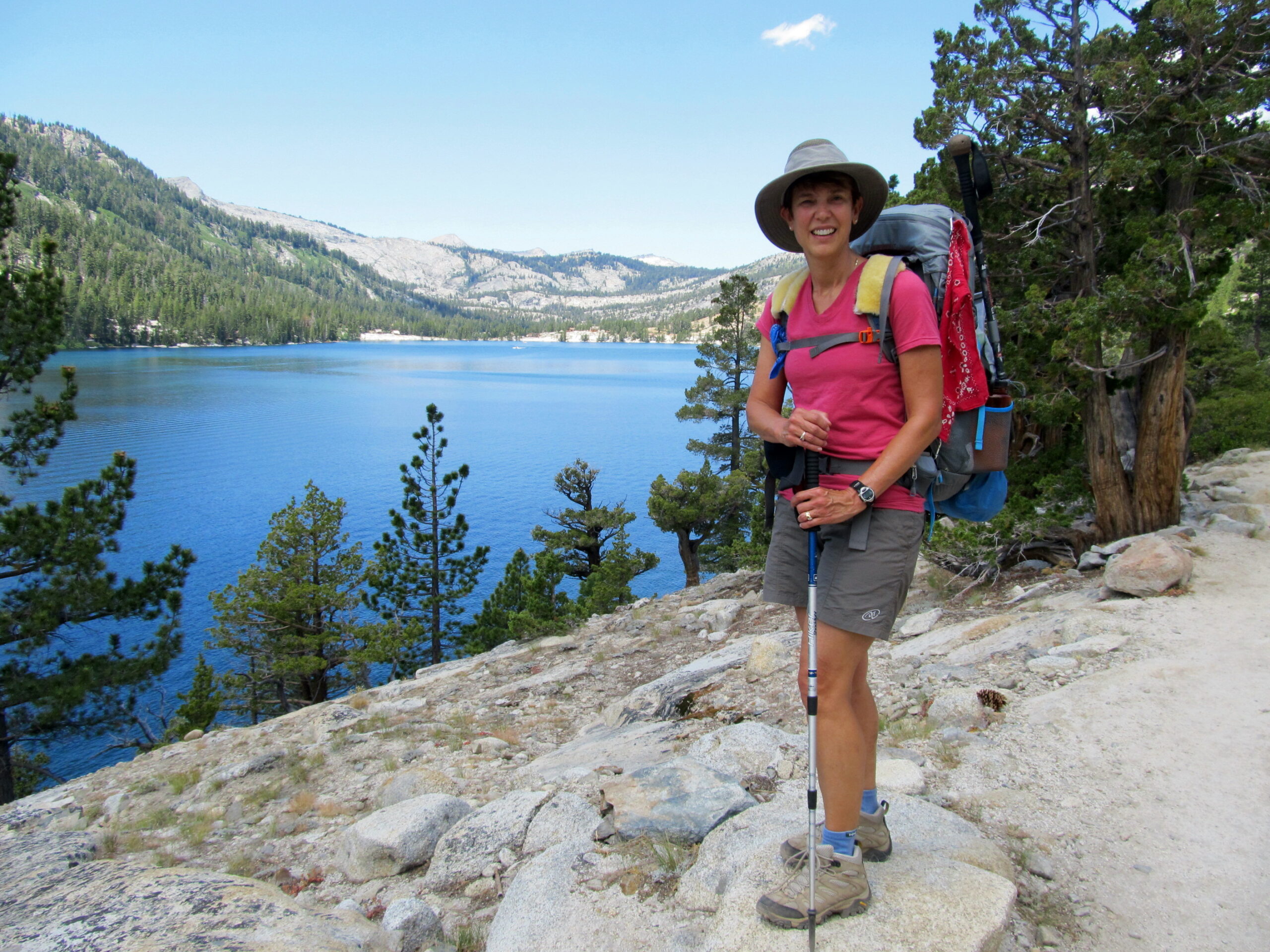
Highs and Lows on the John Muir Trail
The Hungry Spork TRAIL RECIPES: Quick Gourmet Meals for the Backcountry
The Hungry Spork: A Long Distance Hiker’s Guide to Meal Planning
An Unofficial Acclimatization Guideline